SHEET 04/10GIS· 2026
Dadaab Climate Risk Dashboard
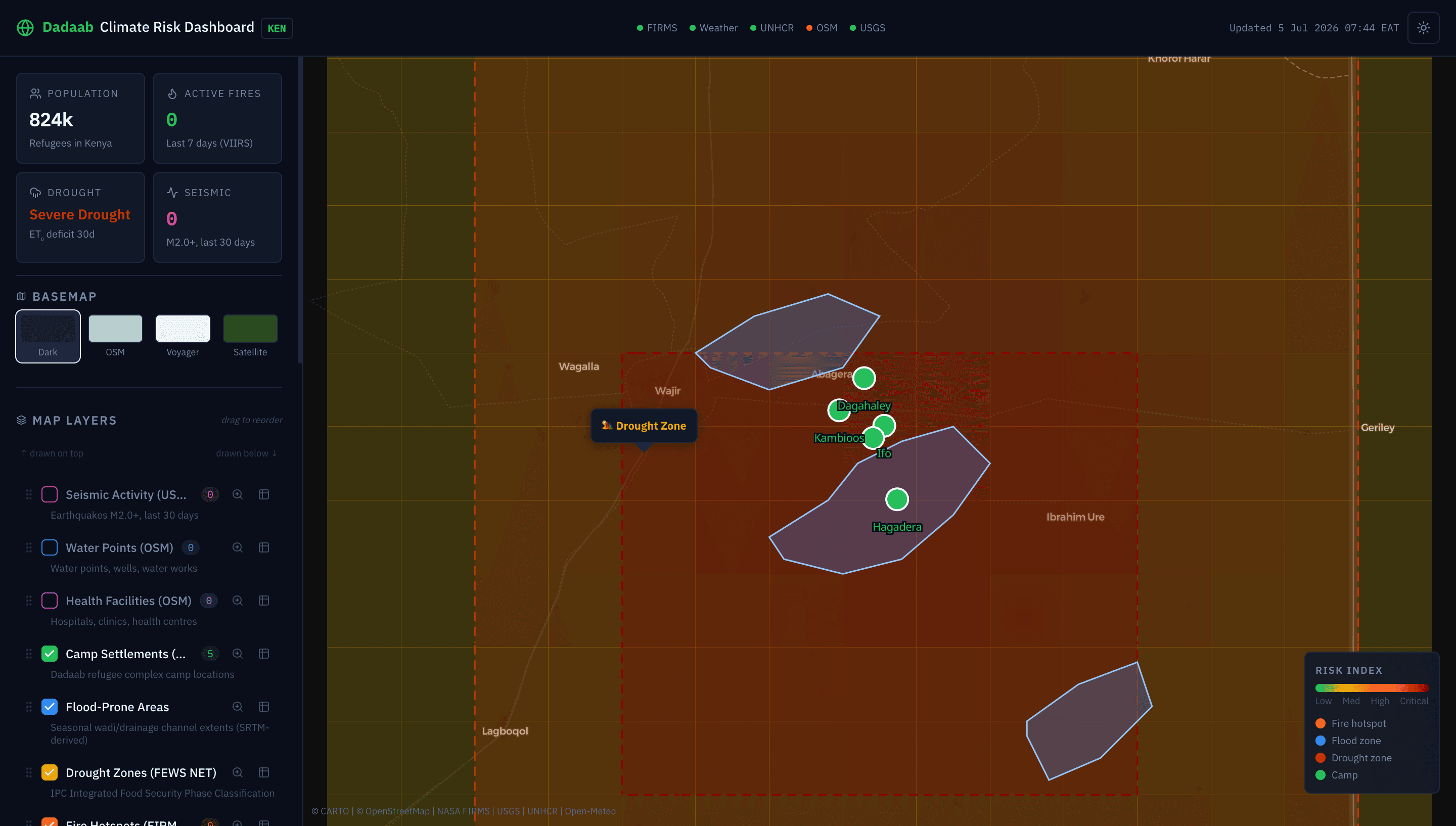
Production-grade GIS web app for real-time climate hazard monitoring in the Dadaab refugee complex, Kenya. Integrates 5 live APIs — NASA FIRMS fire detections, USGS seismic data, Open-Meteo weather, UNHCR refugee population, and OpenStreetMap Overpass — with interactive MapLibre layers, QGIS-style attribute tables, and drag-to-reorder layer management.
Field Notes
Built for disaster risk reduction (DRR) decision-making in one of the world's largest refugee settlements. Features include: NASA FIRMS VIIRS fire hotspot mapping, USGS earthquake monitoring, UNHCR refugee population trends, OSM health facilities and water points from Overpass API, drought zone (IPC/FEWS NET) and flood-prone area overlays, composite risk grid, dark/light themes with auto-synced basemaps (Dark Matter, OSM, Voyager, Satellite), QGIS-style attribute table with sort/search/zoom-to-feature, and layer drag-to-reorder.
Stack