SHEET 07/10GIS· 2026
geo-stack — Open-Source Geospatial Infrastructure
Reusable spatial data platform: PostGIS for writes, DuckDB + GeoParquet for analytics, Martin for live vector tiles, PMTiles for static serving, and TiTiler for raster. One codebase, three deployment modes — local M1, Render+Vercel (free), or production VPS with Caddy.
Field Notes
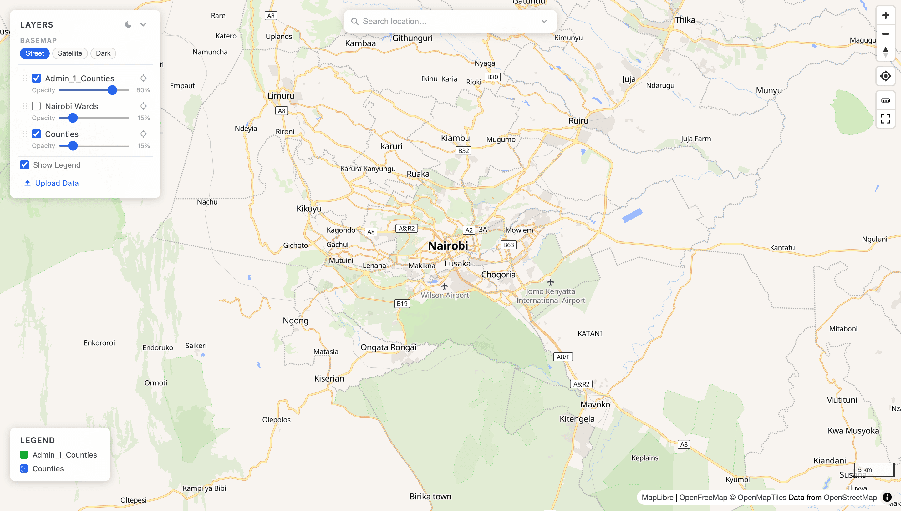
A complete, self-hostable geospatial infrastructure stack built for production GIS workflows. Provides a FastAPI layer that unifies PostGIS spatial queries, DuckDB-powered GeoParquet analytics, and a Martin MVT tile proxy behind a single API. The ingest pipeline accepts any GDAL-readable format (GeoPackage, Shapefile ZIP, GeoJSON, KML) and loads it into PostGIS via ogr2ogr, optionally exporting GeoParquet to Cloudflare R2. A STAC catalog auto-discovers mounted parquet files. The SvelteKit frontend renders live MVT, static PMTiles, GeoJSON, and raster (COG) layers via a single declarative config file — no hardcoded layer IDs anywhere in the UI. Ships with three compose profiles: local dev with hot-reload, a zero-cost cloud deployment on Render + Vercel + Supabase + R2, and a production VPS with PgBouncer, auto-HTTPS Caddy, and nightly pg_dump backups to R2.
Stack